Introduction
Look across Pawna dam on a clear morning and one hill refuses to blend in. It is a sharp cone, almost a pyramid, sitting alone with water wrapped around three sides of it. That is Tung. The Tung fort trek is one of the shortest fort climbs in the Maval region of Pune district, and also one of the few where a short climb still deserves respect.
Chhatrapati Shivaji Maharaj is credited with the name Kathingad, from the Marathi kathin, meaning difficult. That name has confused trekkers for generations. Sources that document the fort in detail actually call the climb easy to medium in grade. The difficulty is not in the length. It is in the shape of the hill: narrow trail, thin edges, steep grass, and very little flat ground anywhere near the top.
This guide covers the Tungwadi route, boat and road access across Pawna, height figures that disagree with each other, transport from Pune and Mumbai, and an honest read of how the whole thing changes in monsoon.
Table of Contents
- Where Tung Fort Actually Is
- Height: Why the Numbers Disagree
- A Short, Real History of Kathingad
- What You See on the Fort
- The Trek Route from Tungwadi
- Difficulty and Who Should Skip It
- How to Reach Tung Fort
- The Pawna Boat Question
- Best Time to Visit
- Pairing Tung with Pawna Lake Camping
- Food, Water and Where to Stay
- Budget Breakdown
- Practical Tips
- Safety Tips
- Common Mistakes
- Frequently Asked Questions
- Conclusion and Sources
Where Tung Fort Actually Is
Tung sits in Pune district, in the Pawana Maval belt of Maval taluka, not on the Raigad border as some listings claim. Its base village is Tungwadi, also written Tungi.
Wikipedia places it roughly 12 km from Malavli railway station, and it can also be approached from Lonavala. Durgbharari puts the fort about 60 km from Pune and about 130 km from Mumbai by road, though the actual driving distance depends heavily on which side of the Pawna reservoir you approach from. That is the recurring theme with Tung. The dam changed the geography.
Since Pawana dam was built, Tung is surrounded by water on three sides. The fourth side is a steep rock face, which is where the trail goes up.
Height: Why the Numbers Disagree
You will see three different figures online, so here they are honestly:
- Wikipedia lists 1,075 m above sea level, citing the Friends of Forts list.
- Durgbharari lists the height as 3,430 feet, roughly 1,045 m, while its own text also refers to Tung loosely as a 3,000-foot hill.
- MTDC's Maharashtra Bhraman page lists 3,000 ft in its data box and mentions 3,500 feet in its description.
Treat approximately 1,075 metres (around 3,500 feet) as the working figure and do not quote it to the metre.
The number that matters more for your legs is the elevation gain. From Tungwadi, Wikipedia describes a climb of about 300 metres. Coming up from the Pawna dam side instead, it describes about 400 metres. Either way this is a short climb by Sahyadri standards.
A Short, Real History of Kathingad
Tung was built before 1600 CE, attributed to the Adil Shahi dynasty, and later came under Chhatrapati Shivaji Maharaj. Durgbharari records the earliest known mention during the Nizam Shahi period, with Shivaji Maharaj capturing Tung in 1657 in the same campaign that brought in Lohagad, Visapur, Songad, Tala, Mahuli and Karnala.
It is a small fort. Wikipedia notes it could hold no more than about 200 troops, which tells you exactly what it was for. Not a stronghold. A watchtower over the Pawana and Mulshi valleys, guarding the road towards Pune and keeping an eye on traffic through the Bor Ghat. The Dhamale family, Deshmukhs of the Maval region, were charged with its security. During an invasion, Tung's job was to buy time so that the bigger forts, Lohagad and Visapur, could prepare.
A few dated events are documented. Netaji Palkar was appointed to secure the area in 1660. On 6 May 1665, Jai Singh and Diler Khan burned villages in the Tung and Tikona region without taking either fort. Under the Treaty of Purandar of 11 June 1665, Tung was among the 23 forts handed over. The Mughals later renamed it Bankigad during Aurangzeb's southern campaign, a name that did not stick. After the Marathas reclaimed it, the fort remained under the princely state of Bhor until independence.
No great siege. No famous last stand. Tung's significance is geographic, not dramatic.
What You See on the Fort
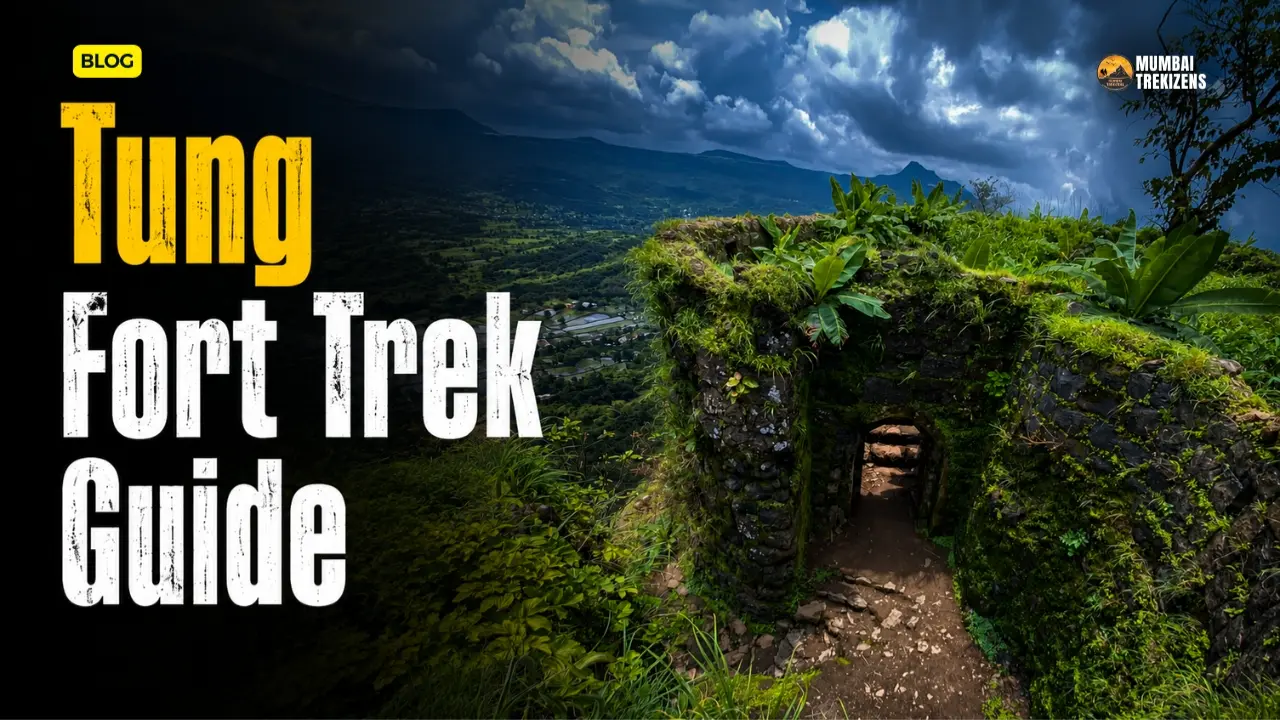
The entrance is built in the classic Gomukhi style of the Shivaji era, with two concealed gates in sequence. No decorative carving. Just guard chambers and good military sense.
Inside, the fort naturally forms four levels, one below the gate and three above. Around five bastions survive. On the way up you pass rock-cut steps, ancient cisterns and a small guard room carved into the rock face.
At the eastern tip the citadel rises to a tiny summit holding the Tungai Devi temple, the fort's presiding deity. There is barely room to walk around it. Durgbharari is blunt about this: the summit offers just enough space to circle the temple, and a misstep means a sheer drop. Nearby you will find ruins of administrative structures, a commander's residence, a Ganesh temple, a masonry tank and rock-cut cisterns.
The view is the payoff. Lohagad and Visapur as a twin silhouette, Tikona across the water, Korigad to the south, and the whole spread of Pawna dam beneath you.
The Trek Route from Tungwadi
From the village, the trail passes a Maruti temple and heads straight at the cliff you can see above. Durgbharari and MTDC both put the climb at roughly 45 minutes from village to fort. Other trek operators quote 1 to 1.5 hours, which is realistic if you are unfit, carrying camera gear, or moving in a large group.
The trail character changes in three stages.
Stage one is a walk through village fields and scrub. Gentle. Easy to underestimate the rest.
Stage two is the grass slope. This is where the gradient bites. In dry season it is loose dust over hard mud, which slides. In monsoon it is wet grass over the same mud, which slides more.
Stage three is the rock-cut section leading to the gates. Steps are cut into stone here, worn smooth in places, with exposure on one side. This is the part people photograph and the part people fall on.
Allow about 1.5 to 2 hours to explore the whole fort properly once you are up, which is the figure durgbharari gives.
Difficulty and Who Should Skip It
Graded honestly: easy to moderate in effort, moderate in exposure.
The climbing is short. The problem is that the hill is a cone, so almost the entire upper trail runs along a narrow edge with a drop on one side. There is no protective railing on the exposed stretches, and the summit platform is genuinely small.
Tung is fine for a reasonably fit beginner who is comfortable with heights and moving on rock. It is a poor choice for small children, for anyone with vertigo, and for large casual groups where people wander off the line. If you want a Pawna-side fort with the same views and far less exposure, do Tikona instead. If you want a longer walk on a wide trail, do Lohagad.
How to Reach Tung Fort
Access is the confusing part of Tung, so here it is broken down.
From Lonavala (road)
Tungwadi is roughly 20 km from Lonavala via Bushy Dam, INS Shivaji, Peth Shahapur and on to Tungwadi. This is the standard private-vehicle route and the one most people use.
By ST bus, you can board a Lonavala bus heading for Bhamburde or Ambavane, get down at Ghusalkhamb phata about 26 km out, and then walk roughly 8 km to Tungwadi. That walk takes around 1.5 hours. Only worth it if you have a full day and no vehicle.
From Kamshet
Take the Kamshet–Morve ST bus and get off at Tungwadi phata near Chawasar village. From the phata it is about a 45-minute walk to Tungwadi. Bus frequency on this route is thin. Confirm timings at the stand rather than trusting any website, including this one.
From Pune
Drive Pune to Kamshet or Lonavala on the old Mumbai-Pune highway, then take the Pawna dam road. Reckon on roughly 60 to 90 km depending on your route around the reservoir, and two to two and a half hours. Cabs will do this; most drivers know Pawna far better than they know Tungwadi, so give them the village name, not just the fort.
From Mumbai
Roughly 130 km. Take the Expressway to Lonavala, then follow the Lonavala road route above. Alternatively, a local train to Malavli puts you about 12 km from the fort, from where you will need a rickshaw or a hired vehicle. There is no reliable public transport connecting Malavli directly to Tungwadi.
From Tikona Peth (the fort-to-fort route)
MTDC documents a combined route. From Tikona Peth head towards Kale Colony, reach Bramhnoli village, cross by launch to Kevre gaon, and from there Tungwadi is about 20 minutes away. Trekkers who do both forts usually take Tikona first.
The Pawna Boat Question
This trips people up constantly, so read this section twice.
Because Pawna dam surrounds Tung on three sides, there is a genuine boat crossing option. Wikipedia states plainly that one can ferry across in a boat from Pawna dam to the base village. The climb from the dam side is described as about 400 metres of ascent, slightly more than the 300 metres from Tungwadi.
But this is not a scheduled ferry service. It is local boats, arranged locally, run by people whose primary job is not tourism. There is no published timetable and no official operator page. Treat it as a thing you negotiate on the day, not a thing you plan a schedule around.
In monsoon, do not count on it at all. The reservoir is at its fullest, water is being managed for storage and release, and small boats on open water in heavy rain and wind is a bad idea whatever anyone tells you at the bank. Take the road to Tungwadi in the rains. It is longer and it is fine.
The road approach itself lengthens in monsoon too, because the reservoir spreads and some of the informal shortcut tracks around the backwaters become soft, flooded or simply gone. Stick to the sealed road via Peth Shahapur.
Best Time to Visit
October to February is the best window. Post-monsoon greenery without the mud, clear air, safe rock, and the reservoir still full enough to look spectacular. This is when Tung is genuinely one of the best short treks near Pune.
Monsoon (June to September) is the most photogenic and the most dangerous. The grass slope and the rock-cut steps both turn slick with moss and running water. Visibility drops to nothing when cloud rolls through, and on a cone-shaped hill with exposed edges, losing sight of the trail is a real problem. If you go in monsoon, go with someone who has done it before, and turn around if it is actively pouring. Read our monsoon trekking safety guide before you commit.
March to May is doable early in the morning and unpleasant after 9 am. Almost no shade on the climb. Start at first light or don't bother.
Pairing Tung with Pawna Lake Camping
This is the best reason to do Tung, honestly. The fort is a two-hour round trip. That leaves a full day, and you are already standing on the shore of the most popular camping lake in Maharashtra.
The obvious plan: climb Tung in the morning, come down by midday, drive around to a camping site on the Pawna shore, and spend the evening looking back at the cone you were standing on. Our Pawna Lake camping guide covers site selection and booking, and the seasonal guide covers which months are actually worth it.
A second pairing that works well is Tung plus Tikona over one weekend, since they face each other across the water.
Food, Water and Where to Stay
There is nothing on the fort. No stalls, no tea, no vendors. This is not Sinhagad.
Tungwadi is a small village of roughly 100 households. You may find basic tea or a simple meal if you ask around, but do not plan on it. Carry your own food and at least two litres of water per person. MTDC lists water availability as near the temple or in the village. The cisterns on the fort hold water that is not reliably drinkable, and one of them is described as mossy.
For an overnight halt, the Bhairavnath temple near the base is the traditional option, with a large hall and a courtyard containing veergals, stone memorials to warriors who died defending the village. MTDC notes the Maruti temple can take six or seven people and Bhairoba temple around twenty. If you use either, treat them as places of worship, not as free hostels. Clean up completely.
For anything more comfortable, stay at a Pawna lakeside camp or in Lonavala.
Budget Breakdown
Costs for two people from Pune, doing Tung as a day trip.
| Item | Approximate Cost (₹) |
|---|---|
| Fuel, Pune to Tungwadi and back (own car) | 900 – 1,300 |
| ST bus alternative, per person round trip | 150 – 250 |
| Entry / permit | No documented entry fee |
| Local boat crossing, if arranged (per boat) | Negotiated on the day, no published rate |
| Food and water carried in | 300 – 500 |
| Village tea and snacks | 100 – 200 |
| Parking at Tungwadi, if charged informally | 0 – 50 |
| Day trip total, two people, own vehicle | approx. 1,300 – 2,000 |
Add camping costs separately if you are combining with Pawna. Those run considerably higher on weekends.
We have found no official notification of an entry fee or permit requirement for Tung. That does not mean local collection never happens, so carry small change.
Practical Tips
- Start early. Not for heat alone, but because the ST buses that serve this belt are infrequent and the last one back is earlier than you expect.
- Mobile network on the Pawna road is patchy and drops in places around the backwaters. Download your offline map before leaving Lonavala or Kamshet.
- Grippy footwear is non-negotiable on the rock-cut steps. Our footwear guide explains what actually works on wet Sahyadri basalt.
- Trekking poles help on the grass slope descent, which is where most slips happen.
- If you are driving, fill fuel in Lonavala or Kamshet. Pumps around the Pawna belt are scarce.
- Read G. N. Dandekar's Pavanakathacha Dhondi if you read Marathi. It was set in this exact valley and it makes the place land differently.
Safety Tips
The specific hazards here are exposure and slipping, in that order.
- The summit is tiny. Do not crowd it. Go up in small numbers, take your photograph, come down. No sitting on the edge.
- Descend before you are tired. Almost every fall on a cone-shaped hill happens going down, on tired legs, on the grass section.
- Do not attempt the boat crossing in heavy rain or wind. No view is worth it.
- Carry a headtorch even for a day trek. If anything goes slow, you do not want to be on those steps at dusk.
- No alcohol on the fort. Obvious, routinely ignored, and lethal on exposed ground.
- Basic first aid should be with you, not in the car. Our first aid kit list covers the minimum for a short Sahyadri trek.
- Check the forecast the night before and again in the morning. Weather checks before a Sahyadri trek explains what to actually look at.
Common Mistakes
Assuming a short trek is a safe trek. Tung takes 45 minutes to climb. That says nothing about how exposed the upper section is.
Planning around the boat. People read "ferry from Pawna dam" and build an itinerary on it. There is no scheduled service. Have a road plan.
Going in peak monsoon as a first Sahyadri trek. This is a bad first fort in the rain. Pick something with a wider trail.
Underestimating the drive. The Pawna reservoir forces you to go around, not across. Google's estimate and reality diverge here.
Bringing nothing to eat. There are no stalls on the fort. None.
Treating the temples as accommodation without asking. The Bhairavnath temple hall is a village asset. Ask, don't assume.
Frequently Asked Questions
What is the height of Tung fort? Approximately 1,075 metres above sea level, around 3,500 feet, per the figure listed on Wikipedia. Other sources list 3,430 ft and 3,000 ft, so treat the exact number as approximate. The climb from Tungwadi is roughly 300 metres of ascent.
How difficult is the Tung fort trek? The climb is short, roughly 45 minutes to an hour and a half from Tungwadi. Durgbharari grades the fort as medium and notes that despite the name Kathingad, the ascent is not actually hard. The real challenge is exposure, since the trail runs along narrow edges and the summit is very small.
Why is Tung fort called Kathingad? Kathin means difficult in Marathi. The name is credited to Chhatrapati Shivaji Maharaj, reflecting the hill's steep conical shape rather than the length of the climb.
Is there an entry fee for Tung fort? No entry fee or permit requirement is documented in the sources we checked. Carry small change anyway.
Can you reach Tung fort by boat? Yes. Wikipedia notes that one can ferry across from Pawna dam to the base village, with about a 400-metre climb from that side. It is an informal local arrangement, not a scheduled service, and it should not be relied on during monsoon.
Can Tung and Tikona be done in one day? It is possible if you start very early and have your own vehicle, but the drive around the reservoir eats time. MTDC documents a launch crossing from Bramhnoli to Kevre that shortens it. Most people split them across two days and camp at Pawna in between.
Is Tung fort safe for children? Not really. The upper trail is narrow with drops, and the summit is barely large enough to walk around the temple. Tikona is the better family option in the same area.
Where do you stay near Tung fort? The Bhairavnath temple near the base has a hall used for overnight halts. Otherwise, Pawna lakeside camps or hotels in Lonavala.
Tung is a small fort with a big personality. It gives you a summit that feels earned in under an hour, a view across Pawna that beats forts three times its size, and just enough exposure to keep you paying attention the whole way up.
Go in November. Take the road, not the boat. Climb in the morning, camp by the water in the evening, and look back at that cone from the shore. That is the trip.
If you are building a Pune weekend around this, our list of one-day treks near Pune has the other options in this belt, and the weekday versus weekend piece will save you from the Pawna Saturday crush.
Ready for Your Next Adventure?
Don't just read about it — come experience it. Explore our upcoming treks, camps and tours, all run with certified leaders and small groups.
🏷 - Kathingad fort, - Tungwadi base village, - Tung fort height, - Pawna lake forts, - Tung fort Lonavala, - how to reach Tung fort from Pune and Lonavala, - Tung fort trek difficulty and time, - Tung fort trek with Pawna lake camping, - Tung fort in monsoon safety, - Tung and Tikona fort trek in one day
Be the first to comment on this post.